Comfort Lake – Forest Lake Watershed District launches wetland enhancement project, wins Climate Adaptation award
Once upon a time, I set out for a twelve-mile run on a treacherous trail in the middle of the pouring rain. My friends and I were at Jay Cooke State Park for a 1980’s style girls-weekend camping trip (more on that another time) and I was training for my second Grandma’s Marathon. I thought the worst of the storm had passed, but it returned with a vengeance when I was four-miles deep in the forest.
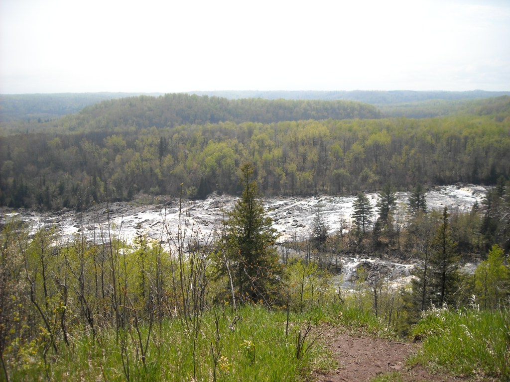
The trail grew muddy and waterlogged. I encountered one unmarked intersection after another and my paper map became a soggy mess of tattered pulp. The rain dripped off my face and clung to my eyelids. For no reason at all, my nose started to bleed. By the time I finally returned to the campground, I was covered in mud, cold, drenched, and nearly an hour late. My friends were on their way to the visitor center to report a missing person.
Several years later, I went for a short run near my home on a moderately rainy day. I wore a light jacket and hat to keep the rain off my skin and out of my eyes. I stayed on paved roads and chose an easy three mile route. I returned home slightly damp and feeling refreshed, and no one sent a search party to look for me.
I take away two lessons from this experience: 1) There is a big difference between a light rain and a torrential downpour; and 2) Planning ahead helps to keep a rainy day from becoming a disaster.
Ten years ago, the Comfort Lake – Forest Lake Watershed District (CLFLWD) identified a number of projects needed to improve lake water quality and protect the communities of Forest Lake, Scandia, and Wyoming from flooding during spring melt and heavy rains. Between 2012 and 2022, the watershed district partnered with local communities to create 65 acre-feet of floodplain storage, restore 185 acres of wetlands, preserve 77 acres of upland habitat, and prevent more than 3,700 pounds of phosphorus per year from flowing into surrounding wetlands, lakes and rivers.
The new 10-year watershed management plan, which started in 2022, prioritizes climate change adaptation and sets new goals for adding an additional 99 acre-feet of floodplain storage, improving community preparedness and emergency response capacity to flooding, implementing a greenway corridor to improve landscape resiliency, and restoring 400 acres of wetlands. In short, the watershed district is planning ahead for a rainy day.

According to Minnesota climatologist Kenny Blumenfeld, our climate has been trending warmer and wetter for more than a century. The average annual temperature has increased by 2.9°F since 1895, and average annual rainfall has increased by 3.4in. The increasing frequency of mega-rains (more than 6in of rain in 24hrs) puts communities at risk of flooding, and the warmer temperatures can exacerbate algae blooms and other water quality problems.
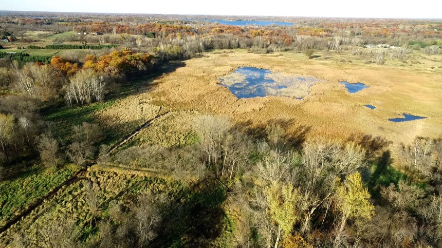
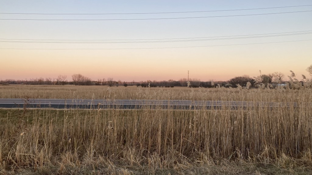
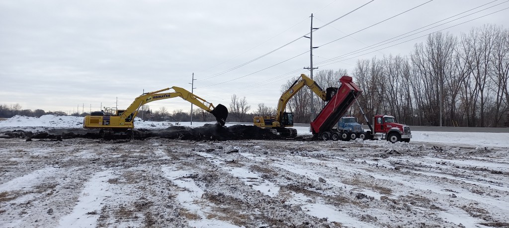
Within the Comfort Lake – Forest Lake Watershed, however, new projects are helping to build resiliency. One example is the Sunrise River Highway-61 Wetland Enhancement Project, which is being constructed on 42 acres of District-owned property between Forest Lake and Wyoming. The project will create 18.3 acre-feet of flood storage and will reduce phosphorus flowing to The Sunrise River and Comfort Lake by 89 lb/yr and 65 lb/yr, respectively. The project will divert and treat water flowing out of Heims Lake, through an existing drainage ditch system, by running it through a pre-treatment cell and into a wetland complex. The project will not impact water levels in Heims Lake or affect any of the properties adjacent to the project area or along the Heims Lake drainage ditch.
The Sunrise River Highway-61 Wetland Enhancement Project will cost $1.5 million to complete, with $792k in state funds coming from the Minnesota Clean Water Fund and Lower St. Croix Watershed Partnership, and $100k in federal funds coming from the Clean Water Act Section 319 program.
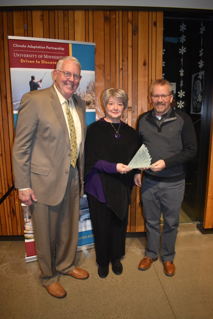
In recognition of its accomplishments, ongoing work, and leadership on climate adaptation and resiliency, the Minnesota Climate Adaptation Partnership selected CLFLWD for its 2023 Organization Award. The annual award is offered in partnership with the University of Minnesota College of Food, Agricultural and Natural Resource Sciences and University of Minnesota Extension.