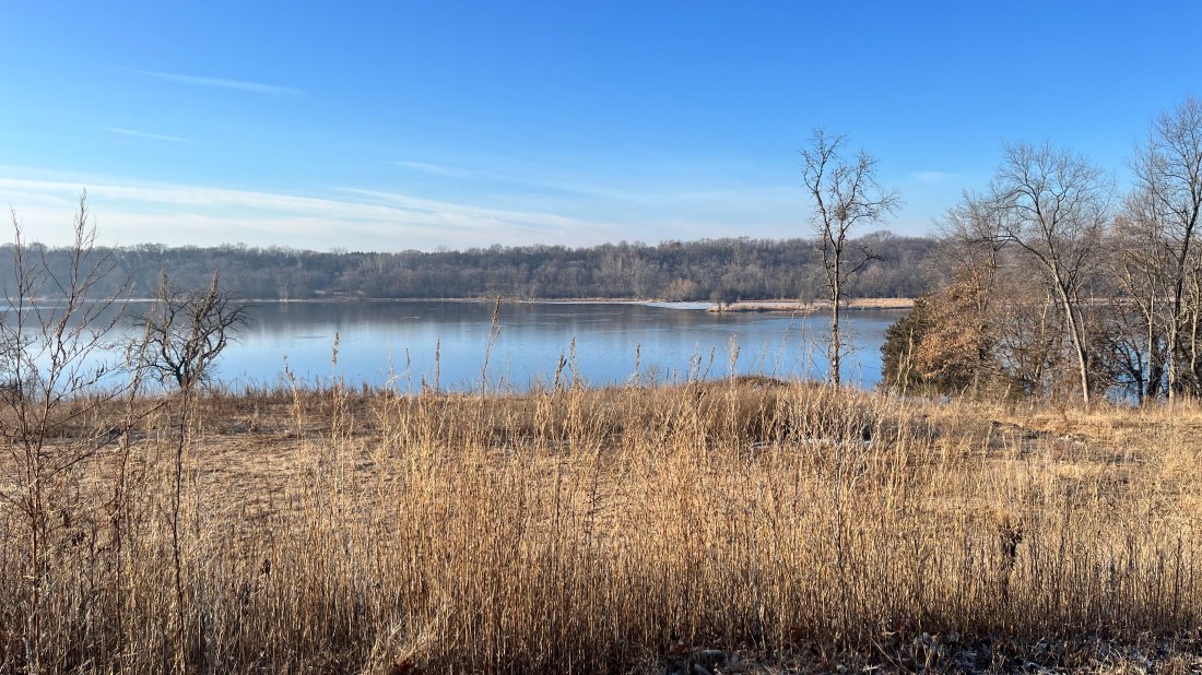
For a big river, the Mississippi can be surprisingly hard to find in some locations. After passing through downtown St. Paul, the Mississippi continues onward through Dakota and Washington Counties, where it also forms the western and southern border of the South Washington Watershed District (SWWD). The segment of the river between Lock and Dam #1 (St. Paul) and #2 (Hastings) is known as Pool 2. Here, the river is also part of the Mississippi National River and Recreation Area, which is managed by the National Park Service.
To find your way to the Mississippi’s Grey Cloud Island, located within Pool 2, you’ll need a road map, an unscheduled afternoon, and a desire to follow the roads less traveled.

Although Grey Cloud is hard to access by modern standards, people have lived along the river there for more than 2000 years. Known as Maȟpíya Ȟóta Wiŋ Wíta (Grey Cloud Woman Island) to the Dakota people, it was the site of a thriving community before European-American settlers arrived. Later, during the 1800s, settlers built wooden bridges across the Grey Cloud Channel – a 2.8-mile segment of river that separates Grey Cloud Island from the “mainland” of Washington County. Eventually, in 1923, the main bridge at the north end of the island was replaced with culverts and filled over to create Washington County Road 75.

The river and landscape surrounding Grey Cloud Island changed dramatically in 1930 when Lock & Dam #2 was built in Hastings. Before then, the Grey Cloud Channel was narrow and filled with islands and meandering channels. Today, it is wide and shallow and most of the islands have been lost to erosion.
Change came again during the 1960s when back-to-back floods washed loads of sediment and debris into the culverts under County Rd 75, turning what was once a bridge into a dam, and what was once a channel into a dead-end slough filled with stagnant water. Over the next five decades, the Grey Cloud Slough suffered from severe algae blooms and supported very little aquatic life due to low levels of dissolved oxygen. A dead-end route with stinky, green water, it was also unsuitable for fishing, boating, and other recreation.

In 2017, Washington County and the SWWD constructed a new bridge along County Rd 75, enabling water to flow freely through the Grey Cloud Channel for the first time in more than 50 years. The $1.8 million project was partially funded by an appropriation from the Minnesota State Legislature, via the Clean Water Fund. Since then, SWWD has continued working with Great River Greening and local landowners to restore shoreline and aquatic habitat along the river.
Now that water in the Grey Cloud Channel is flowing freely again, SWWD is embarking on a new project to construct islands that will restore some of the ecological function lost when the Hastings dam was constructed nearly 100 years ago. The watershed district has received a $3.5 million grant from the 3M PFAS Settlement and the U.S. Army Corps of Engineers (USACE) has also pledged $15 million to help build the islands over the next eight years.
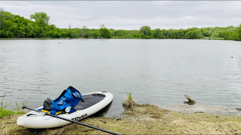
SWWD’s island-building project will help to address a couple of related problems. One is that the Grey Cloud Channel is too wide and shallow for most species of fish. Excavating sand from the channel bottom and rebuilding islands will help to create varied water depths and habitat diversity that better support fish and wildlife. The second problem is that sediment flowing downriver in the Mississippi is constantly filling in the main navigational channel, making it impossible for boats to use the river. Most of this sediment comes from erosion on farm fields, river bluffs, and streams banks that are hundreds of miles upriver along the Minnesota River and its tributaries. The Army Corps plans to use excavated sand from the river bottom to build islands in the Grey Cloud Channel and has done similar work upriver in Pig’s Eye Lake.
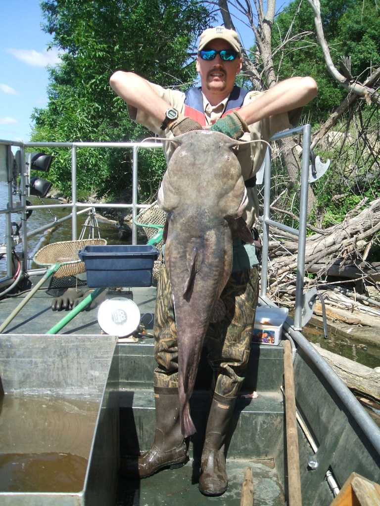
Already, the Minnesota Department of Natural Resources has observed positive changes in fish populations since water began flowing again in 2017. Now, numerous species of fish can be found in this stretch of river, especially in flood years when paddlefish and sturgeon travel upriver to spawn. Project partners hope that the island-building initiative will help to bring back even more fish and also create places of refuge for egrets, eagles, and other wildlife.


