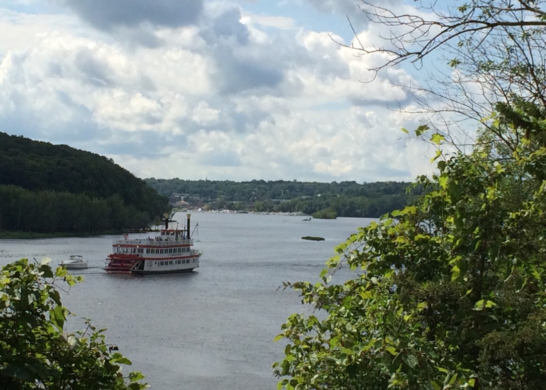
Fans of Aerosmith, sing it with me, “Nah na, nah na, dude looks like a lady!” Did you know that both the Minnesota Department of Natural Resources and the Pollution Control Agency consider the entire St. Croix from Stillwater to Prescott to be a lake? I don’t know about you, but that dude sure looks like a river to me. If I drive across the bridge to Wisconsin, I say I’m crossing the river. Tourists arriving at the St. Croix Boat and Packet Co. climb aboard a riverboat, not a lakeboat. Let’s not forget too that it’s called a Wild and Scenic River. As it turns out, however, the St. Croix’s got more than a few secrets concealed beneath its rippled surface.
Sue Magdalene, a senior scientist with the St. Croix Watershed Research Station, is putting the final touches on a State of the Lake Report for Lake St. Croix. In this report, people might be surprised to learn that the St. Croix “River” from Stillwater to Prescott is not just a lake, it is four lakes! Equally surprising, water quality and clarity in the St. Croix actually improves from north to south; by the time it reaches the Mississippi River, it’s cleaner than it was up in Stillwater.
Experts at the Watershed Research Station have been studying the St. Croix for years. Through analyzing sediment cores collected from the river (ahem…lake) bottom, they know that the St. Croix changed during the 1950’s during the rise of conventional agriculture. The amount of phosphorus flowing downriver into the lake increased significantly, creating a ripple effect that impacted diatoms (algae), macroinvertebrates (bugs), and other parts of the ecological web. As the St. Croix Basin continued to develop during the 1980’s and 90’s and more natural areas were converted to agriculture and residential land, phosphorus levels continued to climb. Algae blooms became more common and people swimming and boating in the St. Croix started to notice. A comprehensive assessment of the St. Croix and its tributaries was conducted in the late 1990’s and the data formed the basis for both Minnesota and Wisconsin to declare Lake St. Croix officially impaired.
Nearly 20 years later, the landscape in the St. Croix Basin has continued to change and there has been much work to improve water quality as well. Magdalene’s State of the Lake Report aims to determine if we’re heading in the right direction.
Part of what makes the St. Croix so difficult to study is the fact that it has characteristics of both a river and a lake. There are actually four distinct pools – Stillwater to Hudson (Willow River), Hudson to Afton (Valley Creek), Afton to Kinnickinnic River, and Kinni to Prescott. Naturally formed ridges on the lake bottom prevent deep water in each of these pools from moving downstream. Within each pool, the water stratifies during the summer, with colder water sinking to the bottom and warmer water remaining at the top. As a result, from June until September, the St. Croix could best be described as a warm shallow river flowing over the top of four deep, cold lakes. During the spring and fall, changing temperatures cause the water to “turn-over” and mix together, typical behavior for a deep lake. During the winter, the four pools become isolated again.
Between the first and fourth pool, some interesting changes happen in the St. Croix. Water from the shallow channel up river comes pouring into the deeper pool 1 near Stillwater, creating turbid conditions that churn up sediment and nutrients. By the time the water reaches Hudson, however, some of the sediment has had time to settle out. This pattern continues for each subsequent pool. Though tributary streams like the Willow and Kinnickinnic bring in additional sediment and nutrients, there is still an overall improvement in water quality and clarity by the time water flows out of Lake St. Croix into the Mississippi.
The State of the Lake Report examines many other interesting patterns as well. For example, through analyzing climate records and water data collected by the Metropolitan Council and volunteers, Magdalene finds that wetter high flow years produce turbid conditions, with poorer water clarity and higher levels of phosphorus in the water. Interestingly, however, because the water is moving faster those years, there is less time for algae to grow. In contrast, drier low flow years tend to have better water clarity and lower phosphorus levels but more algae. These wet and dry cycles last about ten years each, making it hard to determine if the St. Croix is getting better or worse unless you know where you are in the decadal weather pattern and look at long-term trends.
Stay tuned for more info about the State of the Lake St. Croix later this year. Meanwhile, crank some Aerosmith for me the next time you get on the bridge to drive across our “lake.”
