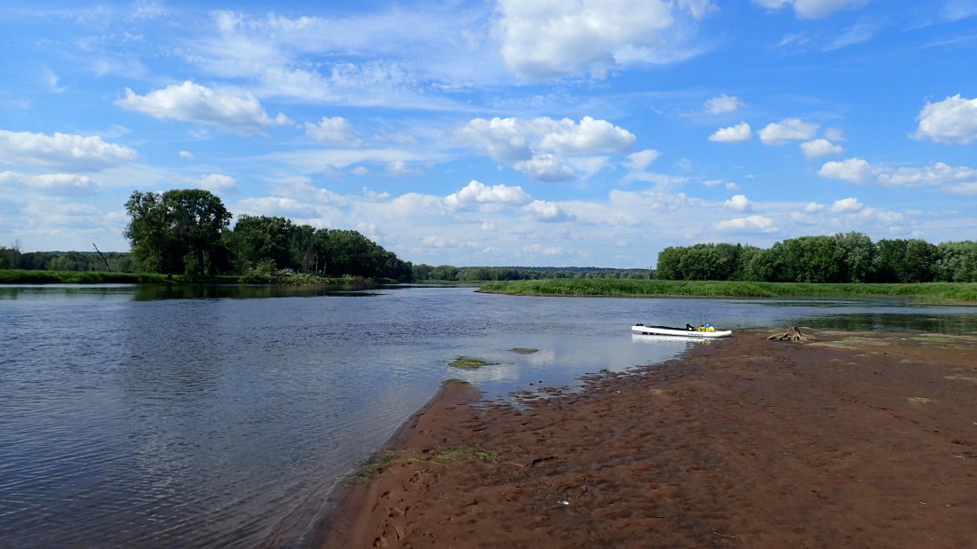
Jim Almendinger, Director of the St. Croix Watershed Research Station, has spent nearly 30 years studying the connections between rain, runoff, land use, and water quality. We know that many of our favorite waterways have too much sediment and phosphorus. As a result, we see more algae blooms during the summer and fewer fish on our lines. However, it’s not always easy to determine where the pollution is coming from or what we can do to fix the problem.
Almendinger uses a sophisticated computer model known as the Soil and Water Assessment Tool (SWAT) to evaluate how land use affects lake and river water quality and to determine what kinds of changes we could make to achieve cleaner water. Though the science is complex, the underlying concept is rather simple; it all has to do with what happens to the water when it rains.
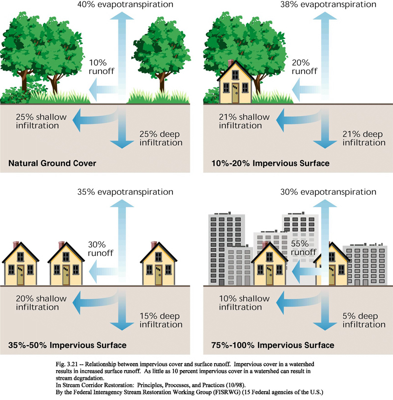
In natural landscapes such as forests and prairies, roughly half of the water soaks into the ground when it rains, recharging shallow and deep aquifers that provide drinking water for people and a steady flow of purified water for lakes and streams. Another 40% lands lightly on the surface of trees and plants, recharging plant cells or evaporating quickly when the sun returns. The final 10% runs off of the land and into wetlands, lakes and streams.
In cultivated and developed landscapes, the fate of the rain is quite different. The water either runs off of rooftops, driveways and roads and into storm pipes that carry it away, or flows through farm fields, carrying away loose soil and fertilizer residue as it goes.
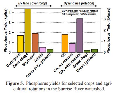
In one modeling exercise, Almendinger looked at the Sunrise River in Chisago County, which is a major tributary to the St. Croix River. Only 21% of the land in the Sunrise River watershed is agricultural, but those farmlands deliver 55% of the phosphorus to local lakes and rivers. Almendinger used the SWAT model to explore how things might change if farmers grew different types of crops or employed conservation practices such as cover crops or grassed waterways (picture a 10-ft wide corridor planted with perennials to hold the soil in place in parts of a field where water naturally flows).
In 2012, 85% of the tilled land in the Sunrise River watershed was planted in corn and soybeans. Using the SWAT model, Almendinger was able to demonstrate that the total amount of phosphorus running off into waterways could be reduced by 18% if half of the corn silage fields were converted to switch grass (used for biofuel), by 6-10% if half of the farmers planted vegetated filter strips on the downhill edges of their fields, by 8-18% if farmers planted grassed waterways, or by up to 20% if farmers applied less fertilizer during the year. Within the larger St. Croix River Watershed, the SWAT model shows that farmers could cut the amount of phosphorus leaving their fields in half by planting fall cover crops in early September.
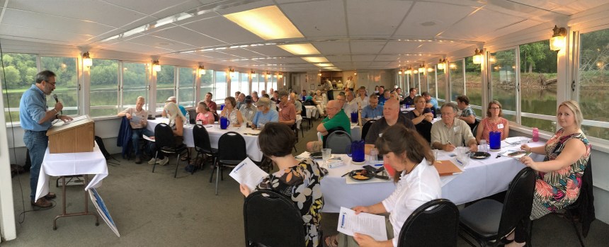
“Really, these models just help to prove what most of us know to be common sense,” said Almendinger, during a recent workshop on the St. Croix River. “If you leave soil open and unvegetated, it will wash away when it rains, and if you cover it, it won’t.”
Models can also help to determine the most cost-effective watershed projects to pursue to gain the best return on investment. When the Comfort Lake – Forest Lake Watershed District looked for ways to improve water quality in the Sunrise River, they found that they could cut phosphorus flowing through the Sunrise to Comfort Lake by 206 pounds per year by restoring a wetland complex in Bixby Park in Forest Lake. The watershed district worked with the City of Forest Lake and Emmons & Olivier Resources, Inc. to complete the project in early 2016, with grant support from the Minnesota Clean Water Fund. Almendinger’s SWAT model shows that restoring wetlands elsewhere in the Sunrise River watershed could translate into major improvements for the river, as well as lakes in Chisago County.
In Washington County, the Washington Conservation District has completed “subwatershed analyses” on a dozen lakes and streams to identify the best projects and locations for improving water quality. The studies have helped the Conservation District and Watershed Districts to secure grant funding from the state and provide valuable guidance for resource managers.
Almendinger hopes that his modeling efforts will ultimately help local partners to move toward a healthier St. Croix River and watershed. “We’ve got something very special here,” he says. “We’ll never restore the river to pristine pre-development conditions, but it’s definitely possible to have a healthier river with less phosphorus and better habitat.”
