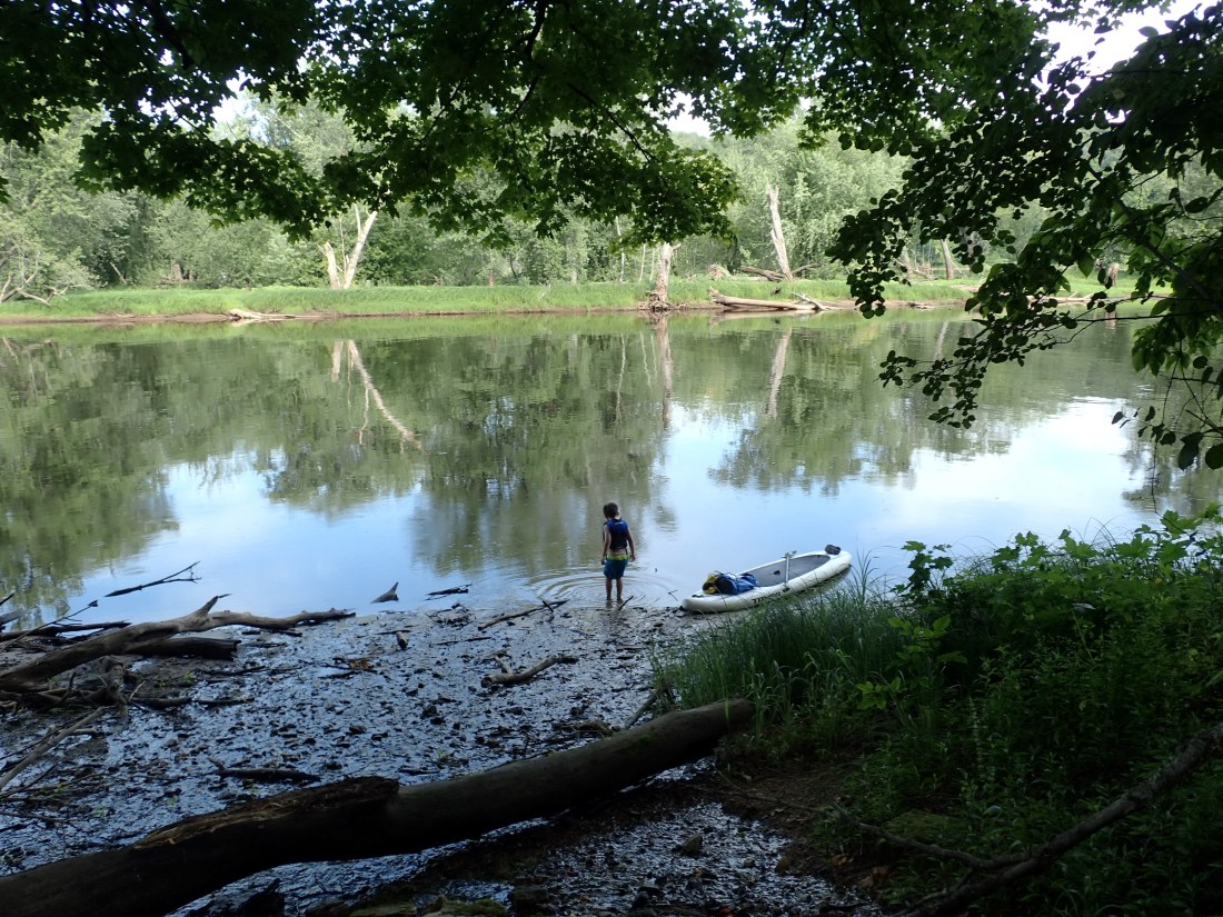
Three weeks ago, the Minnesota Pollution Control Agency (MPCA) announced its intention to declare a stretch of the St. Croix River from Taylor’s Falls to Stillwater impaired due to excess phosphorus. In the wake of this news, many local residents have asked who is to blame and what can be done to restore our treasured river.
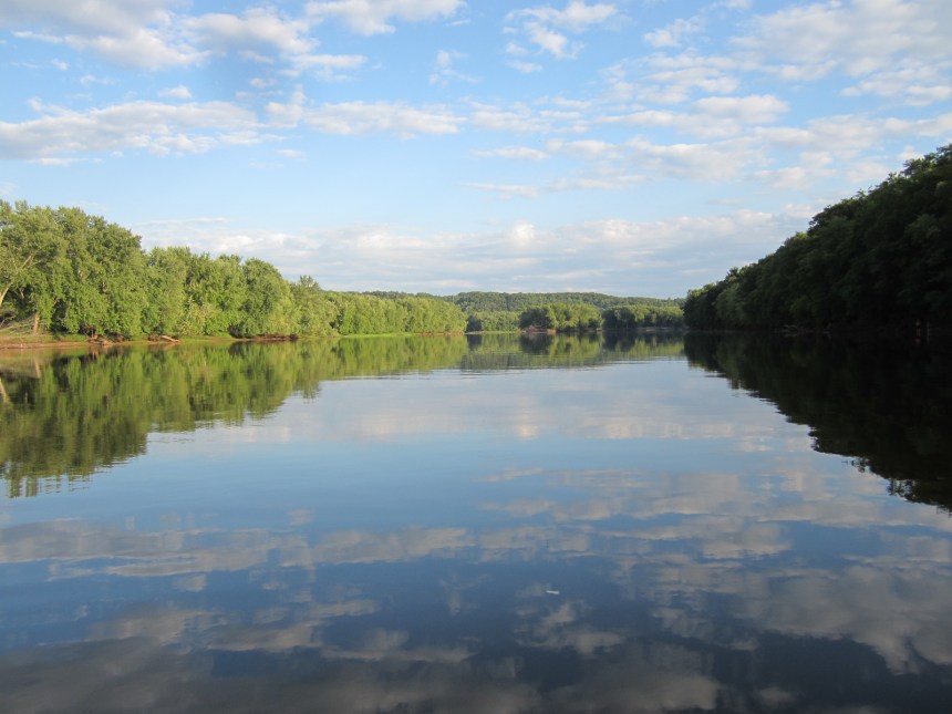
To understand the St. Croix’s current predicament, it helps to reflect on historical efforts to protect the river over the past 50 years. The first major milestone happened in 1968, when the U.S. Congress passed the Wild and Scenic Rivers Act. The St. Croix was included as one of eight rivers having “outstandingly remarkable scenic, recreational, geologic, fish and wildlife, historic, cultural, or other similar values” worthy of protection in free-flowing condition for the benefit and enjoyment of present and future generations. Today, the St. Croix River supports small towns, local tourism, and a vibrant arts community and is also home to 40 species of mussels (five of which are on the endangered species list), 111 species of fish, and 320 species of birds (60 of which are species of greatest conservation need).

In spite of its protected status, the St. Croix is still vulnerable. As it travels 160 miles from Solon Springs, Wisconsin to its confluence with the Mississippi, the St. Croix collects water from a 7,760 square mile basin that covers portions of 20 counties in two states. Eroding soil, phosphorus and nitrogen, bacteria, and other pollutants flow over land, through streams and groundwater pathways, and into the river.
In 2008, the lower 25 miles of the St. Croix River between Stillwater and Prescott – known as Lake St. Croix – was declared impaired for excess phosphorus. The MPCA’s new listing will extend the impaired region further north to Taylors Falls.

It is important to note that water quality in the St. Croix River has actually improved since 1976. The Metropolitan Council has measured a steady decline in phosphorus concentrations in the river at Stillwater, which their scientists attribute to improvements at wastewater treatment plants and statewide bans on phosphorus in laundry detergents and lawn fertilizers. Up until 2015, however, the MPCA’s phosphorus impairment only applied to the lake portion of the St. Croix because the agency had not yet developed a similar standard for large, non-wadeable rivers.
Even before 2008, federal, state and local partners in Minnesota and Wisconsin had begun working together to reduce phosphorus pollution to the St. Croix River. Within the watershed basin, 56% of the land is forested, 33% is agricultural, and 1% is urban. The 2012 TMDL (Total Maximum Daily Load) Report noted that partners would need to reduce phosphorus loading from agricultural and developed regions of the watershed by 100 metric tons per year in order to meet the water quality standard, reduce algae growth, and restore Lake St. Croix to good health. Of the 30 major tributaries flowing to the St. Croix River, the seven which contribute the most phosphorus include the Apple, Snake, Willow, Kettle, Sunrise, Kinnickinnic, and Namekagon. Four of these enter the St. Croix River north of Taylor’s Falls.

Local partners have used three main strategies to reduce phosphorus to the St. Croix River. One has been to employ new technology at wastewater treatment plants. A second has been to identify “hot spots” on the landscape and then work with landowners to repair ravines, reduce erosion, and treat runoff. A third has been to promote and incentivize practices such as cover crops and conversion of marginal cropland to habitat in order to reduce erosion and nutrient loss. Because farmland covers vastly more land in the St. Croix Basin compared with urban areas, much of the current efforts are focused on working with farmers and agricultural landowners to continue implementing additional conservation practices.

The St. Croix River’s new impairment listing underscores the need to continue working in partnership across the basin to protect and restore the river. In spite of Wild and Scenic River protections, the St. Croix will always be vulnerable and it is up to all of us to work together to keep our water clean and healthy.
To learn more about water quality in Minnesota, visit www.pca.state.mn.us/water.
To learn more about the St. Croix River and how you can help to protect it, visit: www.stcroixriverassociation.org.


Nice blog thhanks for posting
LikeLike