
Seven hours after the dog, my son, and I pushed off onto the river in Marine on St. Croix, we pulled up at the St. Croix Boom Site in Stillwater, sunburned, covered in sand, and with a slightly droopy tail. As Molly the dog explored the beach in her shark-shaped lifejacket, I called home for a ride, and began deflating my stand-up paddleboard (SUP). It would take another hour to haul our gear up the treacherous staircase, drive back to Marine for the truck, and load up to head home. In the meantime, we were already rehashing our day’s adventure and planning the stories that we’d tell.
In 1968, the St. Croix River was one of eight rivers in the United States designated for protection under the newly established Wild and Scenic Rivers Act, thanks to the strong advocacy of community residents in the region and the legislative efforts of Wisconsin Senator Gaylord Nelson and Minnesota Senator Walter Mondale. The act recognized the “outstandingly remarkable scenic, recreational, geologic, fish and wildlife, historic, [and] cultural” values of the river and declared that it should be protected in its free-flowing condition for future generations.
Though the original legislation only included the Upper St. Croix (north of the St. Croix Falls dam), the Lower St. Croix River was added in 1972. Today, the National Wild and Scenic Rivers System protects more than 13,000 miles of riverway in 226 rivers across the United States. The St. Croix is the only federally protected Wild and Scenic River in Minnesota and one of only two in Wisconsin.

One of the many protections afforded to the St. Croix River is a limit on shoreline development so that people on the water can enjoy a wilderness experience without seeing houses, roads, and other modern intrusions. In fact, people are often surprised to discover that there is virtually no cell signal out on the river, even when you’re close to communities like Osceola and Marine. There are also relatively few river crossings and access points. For example, the stretch between Marine on St. Croix and the Boom Site is nearly ten miles long, with no option for an early exit once you’ve hit the water.

Though the thought of a trip without cell service might frighten some people, I find the joy of spending an entire day on a semi-wilderness river with no intrusions from the outside world, all within less than an hour’s drive from Minneapolis and St. Paul, to be absolutely priceless!
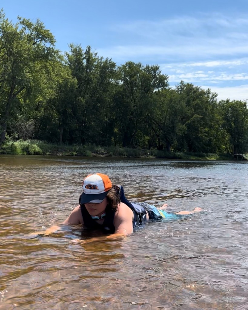
In theory, a person could hop into a kayak, canoe, or SUP and paddle from Marine to Stillwater in much less than seven hours, but what would be the point? Instead, Charlie, Molly, and I took every possible detour along the way. We lounged on our bellies in the shallow water surrounding sandbars, drank Jello as we floated through a backwater channel, gazed at great blue herons and schools of fish, and swam behind our boats as we floated under the Arcola High Bridge.
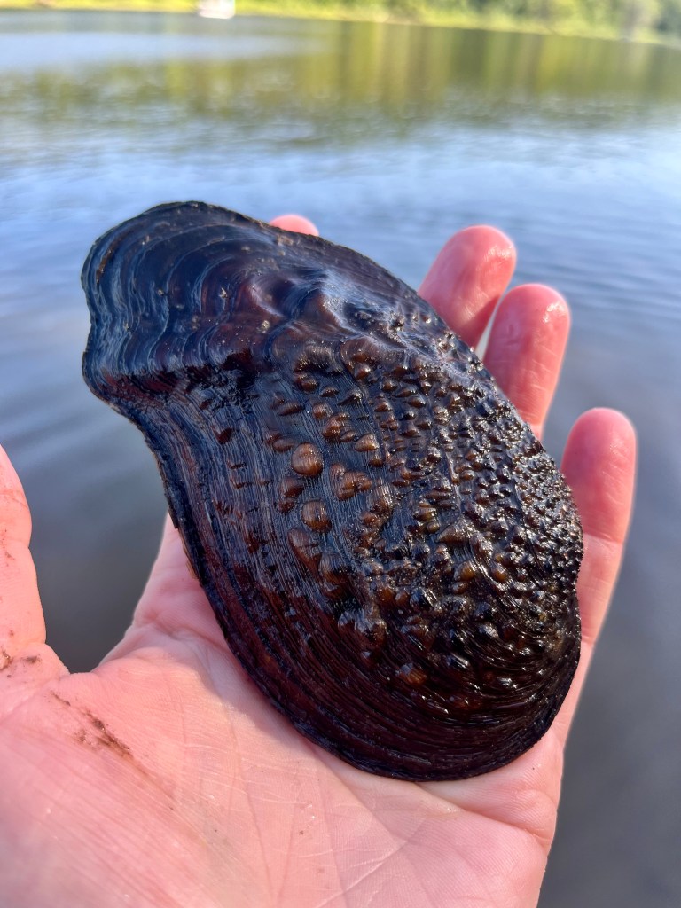
The St. Croix Riverway is home to 41 species of mussels, five of which are on the federal endangered species list, 111 species of fish, and 240 species of birds, 60 of which are species of greatest conservation need. In the watershed surrounding this 169-mile ribbon of blue, you’ll also find one National Park, one National Forest, one National Wildlife Refuge, two National Scenic Trails, three National Historic Landmarks, 12 State Parks, eight State Trails, six State Historic Sites, 10 State Forests, 65 State Natural Areas, more than 150 properties listed in the National Register of Historic Places, the St. Croix Scenic Byway, and the reservation lands of four Ojibwe tribes.
It’s a national treasure, and it’s in our backyard. Let’s keep working to protect the St. Croix!
For help in planning a day or overnight paddling trip on the St. Croix or Namekagon Rivers, go to the National Park Service website, where you can find river maps, recommended routes, safety and gear lists, links to check river levels, and other information: www.nps.gov/sacn.
