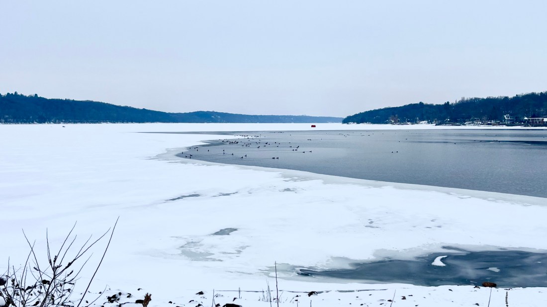
As I pull up to the parking lot at Point Douglas Park, two smiling teens wave, climb onto an ATV towing a sled laden with fishing gear, and ride away across a frozen river. On my right, mere yards away, a group of mallards are happily quacking as they swim about on wide open water.
Located at the confluence of the St. Croix and Mississippi Rivers, Point Douglas is one of many communities that sprang up along Minnesota’s rivers during the lumber era. It was first opened to European-American settlers in 1838 and officially platted in 1849 after Minnesota became a state. By the late 1800’s, Point Douglas was a busting trade center with a sawmill, church, school, two general stores, a post office, blacksmith shop, two hotels, four warehouses, and 15 to 20 homes. Given its ideal location, it also quickly became a transportation hub.
Point Douglas residents could travel via steamboat or ferry to reach Prescott, Wisconsin on the other side of the St. Croix or Hastings, Minnesota, just two miles up the Mississippi River. When the railroad arrived in 1879, it provided an additional connection between Hastings, Point Douglas, and Stillwater. In addition, two of Minnesota’s military roads started from Point Douglas. One followed the modern-day trajectory of Oakgreen Ave., north through Stillwater and onward to Duluth, while the second followed the Mississippi River north through St. Paul and onward to Fort Ripley.
Today, Point Douglas is nothing but a ghost town. The old growth forests of northern Minnesota and Wisconsin were depleted by the early 1900s and when the lumber era ended, so did the settlement. Residents gradually moved on to other communities, until eventually all that remained here was a railroad and a highway.

Though there are no buildings left to see, Point Douglas remains a unique location to see the confluence of two great rivers. During the summer, the St. Croix appears to be a ribbon of blue pouring into the chocolate brown Mississippi. The St. Croix’s 8000 square mile watershed is relatively undeveloped and contains large tracts of second growth forest and public lands, which helps to keep its water relatively clean. In addition, protections established by the Federal Wild and Scenic Rivers Act limit development along the St. Croix Riverway.
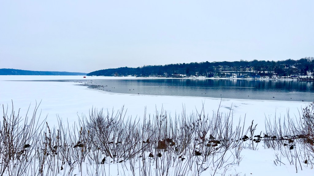
During the winter, the St. Croix freezes solid, while water at the confluence remains open year-round. As a result, it is common to see people out on the ice fishing, even as ducks and geese swim by.
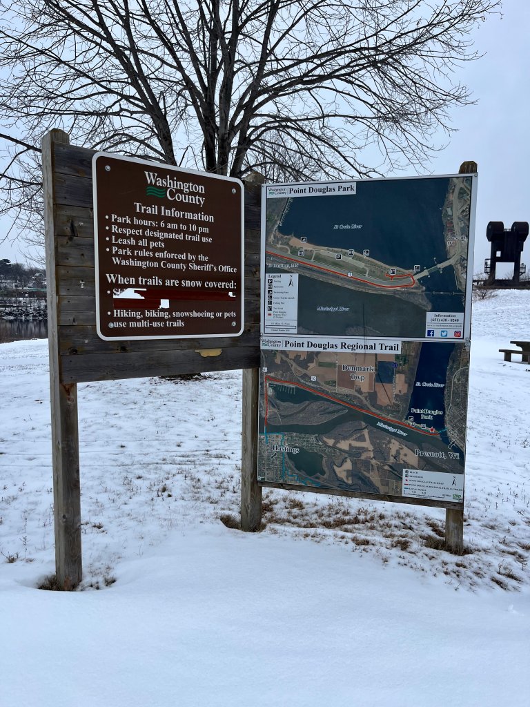
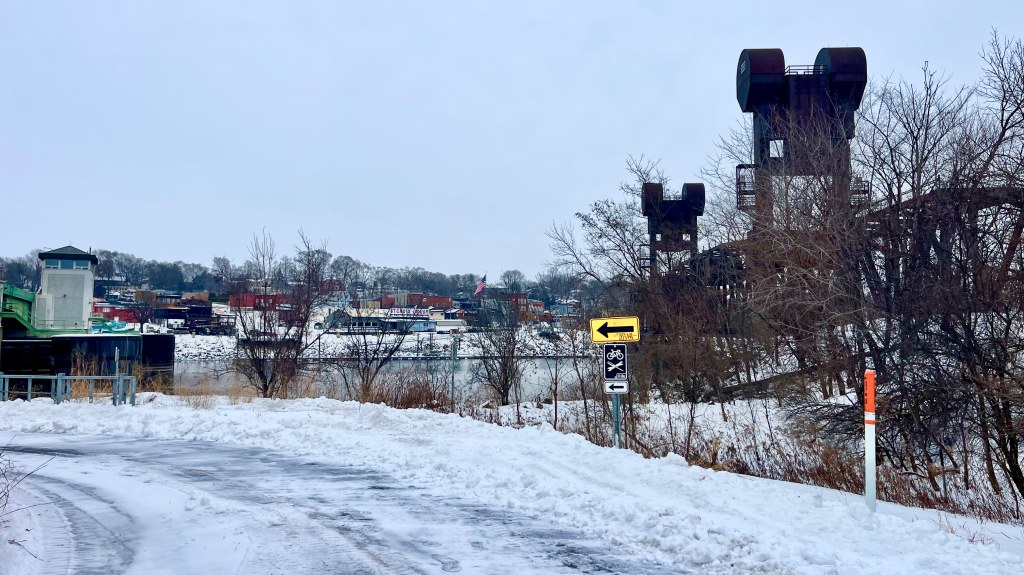
At Point Douglas Park, a Washington County Park, there is a beach, fishing pier, and canoe/kayak launch, as well as tables for picnicking. There is also a newly completed 2.5-mile paved trail that follows the Mississippi River to Hastings. You can walk along it for a short distance to get an up-close view of the bridges and downtown Prescott, as well as occasional trains passing by. Or, during the summer, you can bike further along the Mississippi to Hwy 61, where a pedestrian bridge and trail lead across the river into Hastings. From there, a network of trails in Dakota County lead onward to Lock and Dam #2, Schaar’s Bluff, and all the way north to St. Paul.
