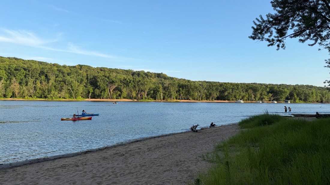
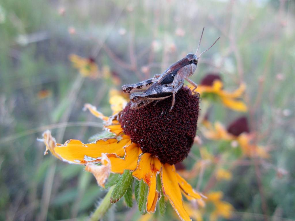
The St. Croix River is a 169-mile ribbon of blue that forms the border between Minnesota and Wisconsin and offers myriad experiences to valley residents and visitors alike. The St. Croix is home to 40 species of mussels, five of which are on the endangered species list, 111 species of fish, and 320 species of birds. The river also supports small towns, local tourism, and a vibrant arts community.



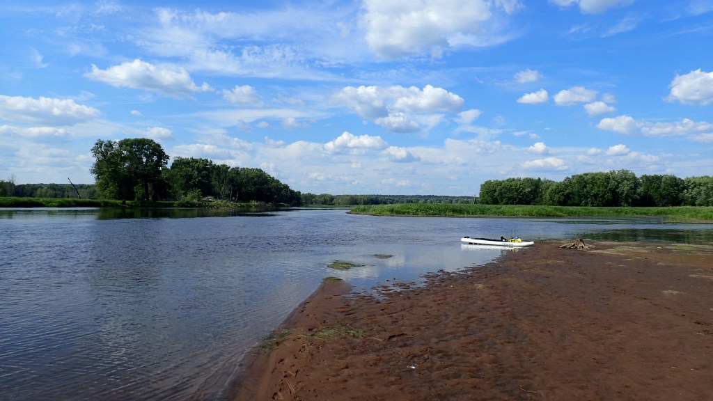
Despite population growth in the region, the St. Croix has remained relatively healthy over the years, in large part thanks to the Federal Wild and Scenic Rivers Act (1968). This designation protects the river from shoreline development, as well as new dams, impoundments, and crossings, and ensures a wilderness-like experience for people who are out on the water.
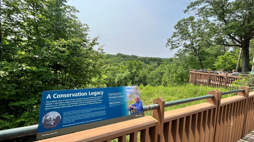
Even so, the St. Croix does have challenges. After 1950, the amount of phosphorus flowing downriver increased significantly due to development and changes in farming. This created a ripple effect that affects diatoms (algae), macroinvertebrates (bugs), and other parts of the ecological web. During the 1980s and 1990s, many natural areas were converted to agriculture or developed, and algae blooms became increasingly common.

Happily, there are numerous people and organizations working to protect and restore the St. Croix River. In 2004, Minnesota and Wisconsin set a joint goal of reducing phosphorus flowing into the St. Croix by 20 percent in order to reduce algae blooms and restore the river to good health. Wild Rivers Conservancy, a nonprofit organization, is the official friends group for the St. Croix National Scenic Riverway and is also the only entity working basinwide in both Minnesota and Wisconsin. Other key players include the National Park Service and local units of government such as Soil and Water Conservation Districts and Watershed Management Organizations (WMOs).
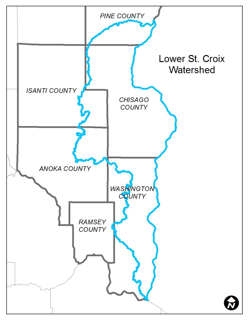
Most recently, 15 local government partners in Anoka, Chisago, Isanti, Pine and Washington Counties have come together to form the Lower St. Croix Watershed Partnership (lsc1w1p.org), which has been working collaboratively since 2021. The partnership receives approximately $1.4M in state funding, once every two years, and has also successfully leveraged federal soil health funding to work with area farmers.
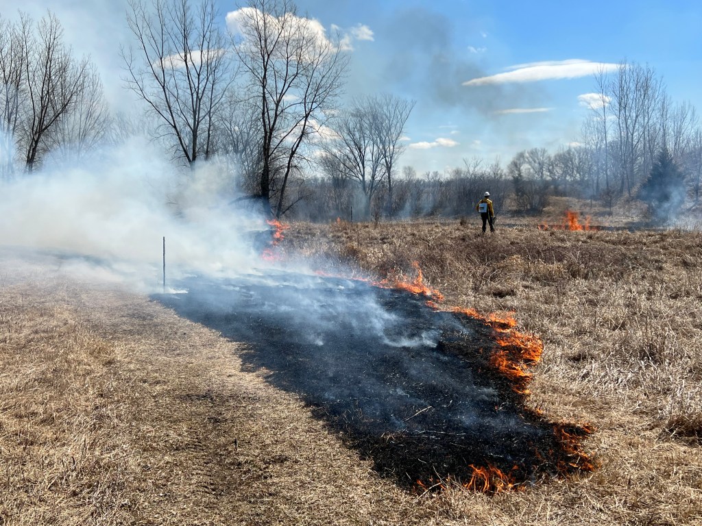

In total, locally-led conservation projects are capturing 23,500 pounds of phosphorus per year (15,011 of which has happened since the LSC partnership was created in 2021) and 16,248 tons of sediment per year. In addition, private landowners are implementing soil health best management practices on more than 10,000 acres of land and have replaced more than 1300 subsurface sewage treatment systems since 2021. In Washington and Chisago Counties, the Conservation Districts have also worked with local landowners and watershed organizations to repair erosion hot-spots and gullies along the river.
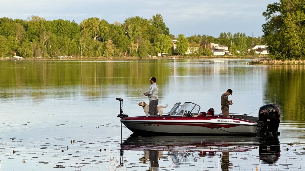

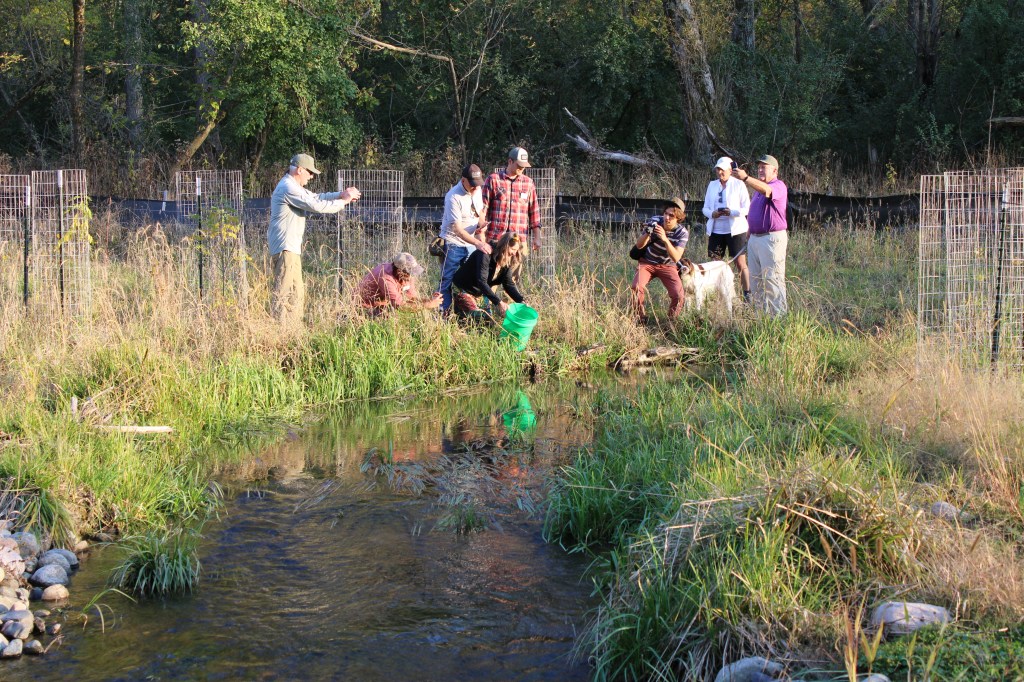
As a result of this collective action, partners in the lower St. Croix region have successfully removed 11 lakes from the state’s impaired waters list – Bone and Hay(Scandia); Comfort (Wyoming); East Boot (May Twp); Echo (Mahtomedi); Lily, McKusick, and South Twin (Stillwater); North Center, South Center, and School Lakes (Center City, Lindstrom) – and have also completed major stream restoration projects on Brown’s Creek (Stillwater), Valley Creek (Afton), Sunrise River (Wyoming), and Trout Brook (Afton).
To learn more about the Lower St. Croix Watershed Partnership and its programs, visit www.lsc1w1p.org.

 East Metro Water