Bluegreen algae blooms have become more prevalent in urban lakes, as well as in pristine northern lakes including Lake Itasca, the Boundary Waters, and Quetico Wilderness Area.
Read More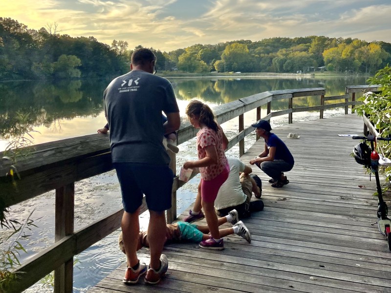
Tips and tales about keeping water clean
Bluegreen algae blooms have become more prevalent in urban lakes, as well as in pristine northern lakes including Lake Itasca, the Boundary Waters, and Quetico Wilderness Area.
Read More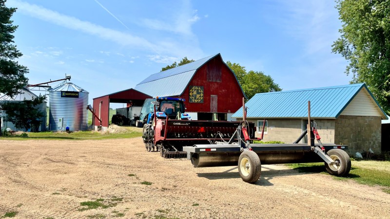
This fall, conservation districts across the state are providing new funds to farmers to implement soil health practices including no-till, cover crops, and prescribed grazing. Funds can also be used for pollinator plantings, as well as pasture and hay plantings. The program is part of an initiative by Minnesota Board of Water and Soil Resources to build better, more resilient soils in order to ensure long-term food security and protect lakes, rivers, and streams from water pollution.
Read More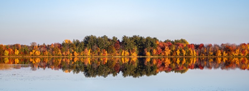
We are excited to announce the winners of our inaugural Natural Shoreline Awards, sponsored by the East Metro Water Resource Education Program and Lower St. Croix Watershed Partnership. These awards recognize Minnesotans who are protecting lake, stream, and wetland habitat in Chisago, Isanti, Ramsey and Washington Counties.
Read More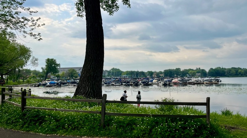
White Bear is a lake with a storied past. At 2438 acres, it is the second largest lake in the Twin Cities metro, and its history features a legendary fight with a giant bear, steamships, gangsters, famous authors, legal battles, and even an amusement park. Recently, efforts led by the Washington Conservation District have focused on improving habitat and reducing stormwater runoff from small communities located along the southeast shore of the lake.
Read More
This summer, the Brown’s Creek Watershed District completes a large-scale stream restoration project, designed to reduce bank erosion, manage floodwaters during large rain events, and improve habitat for fish along a half-mile stretch of Brown’s Creek that flows between McKusick Ave. and the Brown’s Creek State Trail.
Members of the community are invited to view and learn about the Brown’s Creek stream restoration during a tour on Aug. 12 (6:30pm) and a community festival on Sept. 20 (10am-1pm).
Read More
Chloride is toxic to freshwater organisms like fish, frogs, and aquatic invertebrates and also alters lakes’ internal chemistry, causing a cascade of unexpected impacts.
Read More
Across the state, numerous beaches have closed unseasonably early due to blue-green algal blooms, which can be toxic to both people and dogs.
How can you tell the difference between blue-green algae and run-of-the-mill pond scum?
Read More
The Natural Shoreline Award Program recognizes beautiful lakeshore, riverfront and streamside properties that incorporate native flowers, shrubs, trees and plants. Award-winning properties can be located in Chisago, Isanti, Ramsey or Washington Counties.
2025 Program Timeline:
– July 1 – August 7: Call for nominations
– August 7 – 31: Program judges will tour and evaluate shorelines
– September 9: Award recipients are announced
Learn more and submit your nominations.
Read More
The Mississippi tops American Rivers’ list of Most Endangered Rivers. And yet, as we look toward the future, there are reasons to remain optimistic.
Learn more and find ways to engage during “Mississippi River Days of Action” on June 1 – 15.
Read More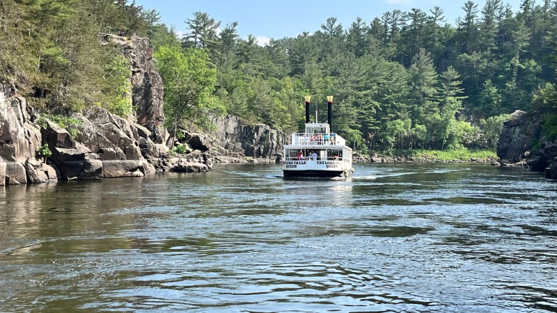
Nearly 8000 square miles of land in Minnesota and Wisconsin drains to the St. Croix River. Within this larger basin, 915 square miles of land on the Minnesota side is included in the Lower St. Croix watershed. This encompasses 127 lakes, over 1,000 miles of rivers and streams, and approximately 152,000 acres of wetlands.
In its first four years, the Lower St. Croix Watershed Partnership reduced phosphorus to local waterways by 10,959 pounds per year, which is nearly double what the group hoped to achieve over the course of its 10-year plan.
Read More